|
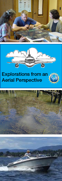
Institute for Resource Information Sciences (IRIS)OutreachExplorations from an Aerial Perspective Recreational boaters and submerged aquatic vegetation (SAV) in the Hudson River Partnership with Hudson River Clearwater Sloop, Inc. Article from Coastlines, the EPA National Estuary Program newsletter, Dec. 2003 Issue 13.6. Link to original article (not posted yet). Includes information about volunteer monitoring project. Temporary version of article ______________________________________________ Looking for temporal data about New York State landscapes? IRIS recently initiated a project for the conversion of its historic aerial photographic collection from analog to digital form. Data covering a number years for several counties can now be accessed on-line at Cornell University's Olin Library. Additional data will be added as funds become available.
|
New York County New York County Agricultural District Mapping Checklist (pdf) NYS Farmland Protection Agriculture Districts (pdf) National Wetlands Inventory Maps Order Form (NWI) (pdf)
|
|