|
Institute for Resource Information Sciences (IRIS)Resource InventoryThe focus of the Resource Inventory and Analysis Program is to collect and summarize information on the type and location of land use and land cover, as well as on other renewable and non-renewable resources. The objectives of the Program are to design, administer and coordinate innovative regional and statewide extension education programs and projects in resource inventory and remote sensing. This encompasses short courses, conferences, workshops, in-service training, demonstration or feasibility projects and the development of educational materials, derived at least in part from the completed projects. The audience includes Cornell faculty, students and staff; Cooperative Extension and Sea Grant educators and their clientele; government agencies at all levels; other academic institutions; planners; secondary school educators and students. The delivery mechanisms used in the Resource Inventory and Analysis Program include consultations, new and continuing educator orientation, workshops, fact sheets, published papers, audio/visual aids, manuals, conferences, proceedings and instruction. IRIS' primary responsibility is to support mapping efforts through consulting services and to review, distribute and archive maps to all participating units of local government and responsible state agencies. The Institute maintains an archival collection of spacecraft and aircraft images which features historic coverage of New York State.Program Staff: Susan Hoskins Senior Extension Associate, Image Analyst, & Resource Inventory Program Leader 1008 Bradfield Hall, 607-255-4864 sbh1@cornell.edu Diane Ayers Data Manager & Research Aide 1015 Bradfield Hall, 607-255-6529 dag10@cornell.edu
|
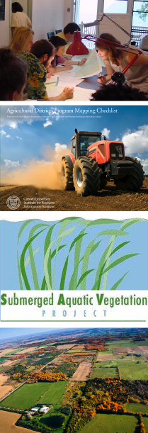
New York County New York County Agricultural District Mapping Checklist (pdf) NYS Farmland Protection Agriculture Districts (pdf) National Wetlands Inventory Maps Order Form (NWI) (pdf)
|
|