
|
Institute for Resource Information Sciences (IRIS)
National Wetlands Inventory Program (NWIP)

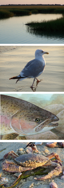
In 1974, the U.S. Fish and Wildlife Service (USFWS) began inventorying wetlands throughout the U.S. in order to foster wise use of the nation’s wetlands and to expedite decisions affecting this important resource. In New York State, the Cornell University Institute for Resource Information Sciences (IRIS) is the official distribution center for hard copy maps generated through the inventory program. At the present time there are some 850 National Wetland Inventory (NWI) maps available for New York.
The primary products of the National Wetlands Inventory available through IRIS are large-scale 1:24,000 maps that show the location, shape, and characteristics of wetlands and deepwater habitats on U.S. Geological Survey base maps. Wetlands have been identified and delineated using small-scale color infrared aerial photographs. Because of the scale of the aerial photography and the scale of the maps themselves, NWI maps do not necessarily identify exact wetland boundaries. Accurate boundaries must be physically delineated in the field by a qualified wetland specialist. For detailed information about the NWI program and information about additional products, check out the
NWI web site: http://www.fws.gov/wetlands/
The NWI wetland maps are required in environmental impact assessments and are useful for flagging areas of concern being considered for potential development. Maps can be ordered from IRIS by downloading the order form below. Please note that orders must be prepared with checks made payable to Cornell University. For additional information, call the IRIS NWI Program at 607-255-6520.
Department of Crop & Soil Sciences
Cornell University is an equal opportunity, affirmative action educator and employer.
|
Applied Research
Ongoing Programs
Outreach
Educational Materials
Publications
New Initiatives
New York County
Aerial Photographs Site
New York County
Aerial Photographs Order Form
Agricultural District Mapping Checklist (pdf)
NYS Farmland Protection Agriculture Districts (pdf)
National Wetlands Inventory Maps Order Form (NWI) (pdf)
|