|
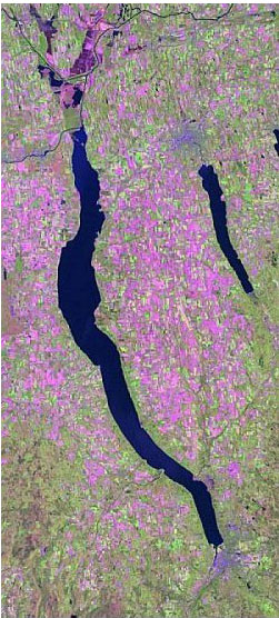
GIS Graduate Student Research: Mammal Habitat ModelsImproving prediction accuracy of a mammal habitat model in the Hudson River Valley The ability to accurately predict species distributions using a wildlife habitat model is important for making conservation and land use decisions. Using geographic information systems, the New York Gap Analysis Project integrated such factors as land cover and elevation to map suitable habitat for 366 vertebrate species statewide (Smith et at. 2001a). Accuracy of the predicted distributions was assessed for all 366 species using a database of species observations. The results for mammal species were particularly low, with an average accuracy of 31.2% statewide a study area. The wildlife habitat model used to create the original predicted distributions was refined by conducting an extensive literature review to create new predicted distributions. New observational data were collected with which to validate the predictions. Six accuracy assessment trials were conducted using a combination of the original and refined predicted distributions, the original and new mammal observation databases, and two new methods of validation. Results of the accuracy assessment show that the new observational data improved prediction accuracy (p = 0.2) more than the refined predicted distributions (p = 0.8), but neither improvement was statistically significant. The two new methods of validation significantly improved results, raising accuracy from 25.75% to 95.8% (p < 0.0001) on average for all 54 mammal species examined in the HRV study area. It was concluded that the low prediction accuracy at township resolution reported by Smith et al. (2001a) for mammal species was not the result of inaccurate predicted distributions, but rather inadequate use of existing observational records. Prediction accuracy improved with the addition of new observed data, however, accuracy can only be measured reliably in this way if a comprehensive observed database is used. The new validation methods reported in this study significantly improved results using existing observed data and provided results at a finer spatial scale which may be more useful for making conservation and land use decisions. For more information, e-mail Elizabeth Anne Hill at bhill@esri.com. Resulting publications:
|
ArcGIS Desktop v.10 Course Descriptions
Video List |
|