
|
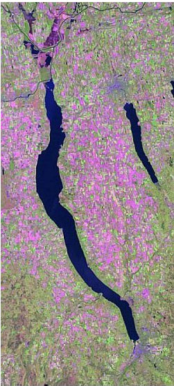
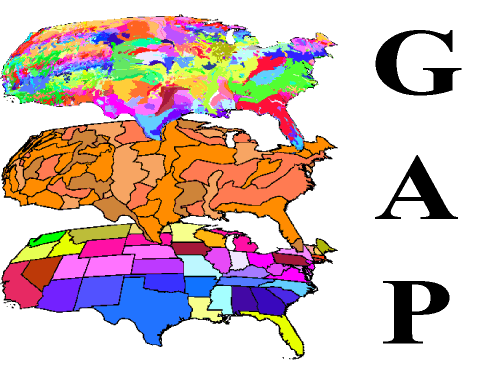
Completed ResearchNew York State Gap Analysis Project The mission of GAP is to prevent conservation crises by providing detailed assessments of biotic elements (plant communities and native animal species) and to facilitate the application of this information to land management activities. This is accomplished through the following five objectives: • Map
actual land cover as closely as possible to the alliance level (FGDC To meet these objectives, it is necessary that GAP be operated at the state or regional level, yet maintain consistency with national standards. Within the state, participation by a wide variety of cooperators is necessary and desirable to ensure understanding and acceptance of the data and forge relationships that will lead to cooperative conservation planning. In NYS, our lead cooperating state agency has been the New York State Department of Environmental Conservation, along with the New York Natural Heritage Program. To find out more about the NYS-GAP Analysis project visit the NY-GAP web page or the National GAP Analysis web page. Resulting publications: DeGloria, S. D., M. Laba, S. K. Gregory. 2001. Mapping the state of New York from Landsat TM, GIM International. 15(2): 76-79. Smith, C. R., S. D. DeGloria. M. E. Richmond, S. K. Gregory, M. Laba, S. D. Smith, J. L. Braden, E. H. Fegraus, E. A Hill, D. E. Ogurcak, and J.T. Weber. 2001. The New York GAP Analysis Project Final Report. New York Cooperative Fish and Wildlife Research Unit, Department of Natural Resources, Cornell University, Ithaca, N.Y. 134 p., append. DeGloria,
S. D., M. Laba, S. K. Gregory, J. L. Braden, D. E. Ogurcak, E. A. Hill,
E. H. Fergaus, J. J. Fiore, A. Stalter, J. Beecher, R. Elliot, and J.
T. Weber. 2000. Conventional and fuzzy accuracy assessment of land cover
maps at regional scale. P. 153-160. In G.B.M. Heuvlink and M.J.P.M. Lemmons
(ed.), Proceedings 4th International Symposium on Spatial Accuracy Assessment
in Natural Resources and Environmental Sciences. Delft University Press,
Delft, The Netherlands.
|
ArcGIS Desktop v.10 Course Descriptions
Video List |
|


 1997);